CivilGrid raises $26M to map what is buried under US streets
Spark Capital led a $26 million Series A for CivilGrid, which merges utility, environmental and geotechnical records into one map. US crews hit 200,000 lines a year.
3 min read
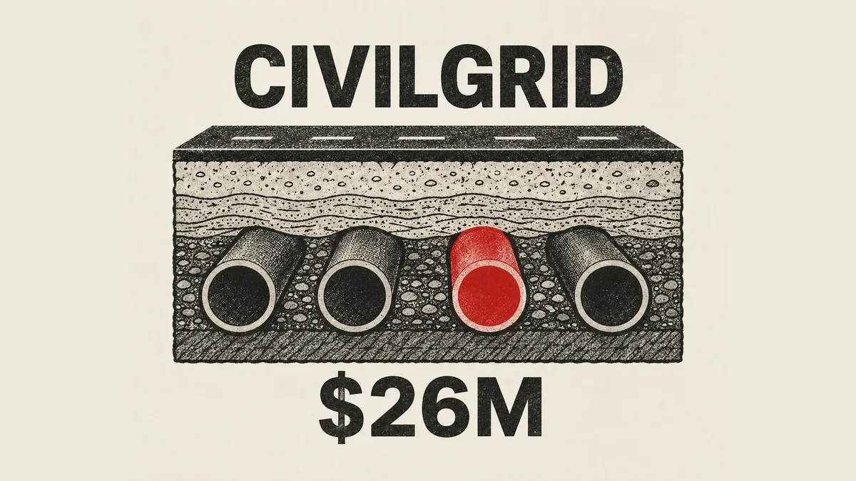
By the numbers
- Series A round, led by Spark Capital
- $26M
- utility strikes a year in the United States
- 200,000
- typical cost of one three-day dig delay
- $60,000
- avoidable paving costs found across 1,600 PG&E projects
- $60M
CivilGrid has raised a $26 million Series A led by Spark Capital, TechCrunch reported on 27 August 2026. The company sells a single map of what sits underground: pipes, cables, ownership boundaries, and the rules that govern them. The reason that is worth $26 million is a cost that already exists. TechCrunch reports roughly 200,000 utility strikes a year in the United States, and a single three-day delay costing about $60,000.
A utility strike is what happens when a digging crew hits a buried line nobody knew was there. The dig stops, the line gets repaired, and the schedule slips. The information needed to avoid it usually exists, but it is scattered across different owners in different formats.
What the product actually is
CivilGrid gathers records rather than sensing the ground. TechCrunch describes the platform as bundling utility asset data, property ownership information, and environmental regulations into one view for planning where infrastructure goes. The company's own site adds geotechnical site data, which is information about soil and rock conditions.
The buyers are the organisations that dig or approve digging. CivilGrid lists developers, engineers, construction firms, utilities, cities, and agencies as customers, and shows 14 client logos on its site. The map itself is served at map.civilgrid.com.
Two credentials sit prominently on the company's site and blog. CivilGrid is SOC 2 Type 2 compliant, an audited security standard that enterprise and government buyers usually require. It is also a California-certified Small Business Enterprise, a status that affects how public agencies can award it work.
The numbers it sells against
The strongest figure in the announcement is a case study with CivilGrid's most credible possible customer. TechCrunch reports that a PG&E case study found $60 million in avoidable paving costs across 1,600 planned projects, using CivilGrid data. Paving cost is a line item a utility already tracks, which is what makes that number persuasive internally.
CivilGrid's own site publishes two further claims. It reports a 75% cut in SUE cost per project, and a 90% cut for telecom projects. SUE stands for subsurface utility engineering, the survey work that locates buried lines before a crew digs. Both figures come from the company's own case studies rather than an independent audit, so treat them as vendor claims.
Why the founder left the utility
Josh Mackanic founded CivilGrid in 2020 after ten years as an engineer at PG&E, according to TechCrunch. He describes the problem from the inside: "I had a job that got shut down because a pipe was in the excavation [that] we didn't know about."
He also explains why he built it as a startup instead of a PG&E project. He told TechCrunch that he left because "this was a problem that was going to be better solved from the outside in." The logic is structural. A single utility can only map its own assets, and a dig is threatened by everyone else's.
What this means for developers
This is a data-integration company wearing a mapping company's clothes. The hard engineering is joining records that were never designed to be joined: asset databases from separate utilities, parcel ownership from counties, and environmental rules from agencies. If you are evaluating a role or a build-versus-buy decision here, that join is the product.
If you build geospatial software, take the schema lesson. Every feature on this kind of map needs provenance and a confidence level attached, not just geometry. A line drawn with false precision is worse than a gap, because a crew will dig next to it. Model uncertainty as a first-class field from the start, since retrofitting it later means revisiting every record you have ingested.
Two questions are unanswered by both sources, and they are the ones to ask before adopting anything like this. Neither states geographic coverage, nor how often the underlying records refresh. A map of buried infrastructure is only as good as its worst-covered county and its stalest source, and no coverage percentage appears in the announcement.
There is also a sales lesson worth copying if you build for utilities or government. CivilGrid leads with a dollar figure against an existing budget line, $60 million of avoidable paving, rather than with a product demo. It pairs that with SOC 2 Type 2 compliance, which this buyer treats as a precondition rather than a feature. If you are planning to sell into agencies, budget for that audit early, because it gates the conversation rather than closing it.
Sources
- This former PG&E engineer is building a 'Google Maps for the underground' - TechCrunch
- CivilGrid - CivilGrid
Related articles
Supabase raises $150M and buys Turso for agent databases
Supabase raised $150M four months after a $500M Series F and is buying Turso, whose SQLite tech lets one server run millions of small databases.

Nous Research raises $90M Series B for Hermes Agent
Nous Research raised $90 million on October 7 to build a business version of Hermes Agent, its open-source AI agent cloned over 24 million times.

Rein Security raises $25M to guard enterprise AI agents
Rein Security raised $25M, co-led by Glilot and Sienna, for software that watches and limits what enterprise AI agents do. Revenue is up 8x since January.
The weekly digest
One email every Friday with the week's top stories from all six desks: AI, dev tools, coding, the tech industry, startups and what's next. Free, no spam.